Coyote Creek Trail Near Morgan Hill: A Practical Guide Before You Go
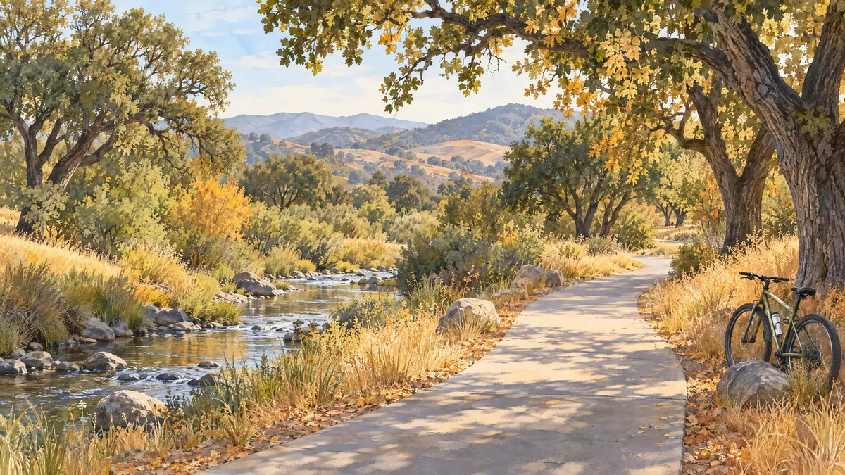
Featured image: AI-generated editorial illustration, not a photograph of a specific trail location.
For a walk or bike ride near Morgan Hill, the paved Coyote Creek Parkway offers a relatively flat route beside the creek. The regional paved route runs between the Anderson Lake County Park area in Morgan Hill and Hellyer County Park in San Jose. Before leaving, check your intended access point and current closures—not just the route shown in your map app. [1]
If you are getting to know Morgan Hill, an ordinary outdoor outing can tell you something a listing photo cannot: whether the area's recreation options fit your routine. You do not need to cover the entire trail to make that visit worthwhile.
Start with the Morgan Hill access point—not the reservoir
Use the county's Coyote Creek Visitor Center page to plan your Morgan Hill arrival. The county lists free parking and restrooms at this location. That does not mean the visitor-center building is staffed or open whenever the surrounding park is accessible. [2]
Be specific when checking directions. A route to Anderson Lake's reservoir or boat-access facilities is not the same as a route to the creekside trail. Anderson Dam construction affects nearby areas, and the county lists closures around the Live Oak Group Picnic Site and its nearby bridge. Confirm the connection you intend to use and respect all posted barriers. [3]
Do not add boating or reservoir fishing to this outing: the county prohibits reservoir access during construction. [4]
Choose a short out-and-back for your first visit
The county describes the asphalt path as relatively flat and used by walkers, runners, bicyclists, and skaters. Trees along the creek include oaks, cottonwoods, and sycamores. [1]
For a first visit, my recommendation is a time-based out-and-back rather than a mileage goal. Walk for a comfortable interval, then turn around while you still have plenty of energy and daylight. That is a flexible planning suggestion, not a measured or officially designated itinerary.
A paved surface does not guarantee that every ramp or section meets your needs. If you use a wheelchair, mobility aid, or stroller, check the chosen entrance and current pavement conditions with County Parks before committing to a route.
Bring your own water and leave daylight for the return
The county notes that rest areas are provided but water is not available along the parkway. Bring drinking water rather than counting on a fountain. [1]
For a November visit, check the forecast, bring a layer, and plan to finish before sunset and within the posted park hours. Allow extra time for the return; your pace may change after a rest stop or with cooler weather.
Before heading out, check Santa Clara County Parks' Closures and Alerts, then call the trail hotline at (408) 355-2200 and press 3 for updated information. This is especially important after rain. A published guide is not a same-day trail-status report. Never enter a closed section or cross floodwater. [3] [5]
Share the path thoughtfully
This is a shared trail, not a private cycling route or off-leash dog park. County guidance says cyclists should yield to other users, announce their approach, and avoid blocking the path. Keep your group to one side when stopping and pack out what you bring in. [5]
If you bring a dog, keep it controlled on a six-foot leash and clean up after it. County rules require that leash outside designated off-leash areas. [6]
Quick answers before you go
Can I walk instead of cycle?
Yes. The county identifies walkers and runners among the paved trail's users. Pick an outing that suits your pace rather than trying to complete the regional route. [1]
Is parking free at the Morgan Hill visitor-center access?
The county lists free parking at the Coyote Creek Visitor Center. That statement applies to this location; do not assume every parking area elsewhere in Anderson or Hellyer has the same policy. [2]
Is every Anderson Lake connection open?
No. Construction-related restrictions affect nearby facilities and connections. Check the official closures page and hotline for your intended route before departure. [3] [5]
Considering a move to Morgan Hill?
Try the activities you would actually use, then compare homes around your own priorities. A nearby trail is worth evaluating in person, including the practical trip from a property to a usable entrance—not just the straight-line distance on a map.
Explore Morgan Hill homes through my property search. For help planning your move, contact Caroline Hobbs and request The Rise Group's Home Buyer's Guide for a step-by-step overview of the purchase process.
References
[1] Coyote Creek Parkway — Santa Clara County Parks
[2] Coyote Creek Visitor Center — Santa Clara County Parks
[3] Closures and Alerts — Santa Clara County Parks
[4] Anderson Lake County Park — Santa Clara County Parks
[5] Trails Program — Santa Clara County Parks
[6] Dogs in County Parks — Santa Clara County Parks


